An online resource that enables visitors to easily and quickly use maps in order to measure, search and overlay mark-up elements on maps for a wide range of useful applications.

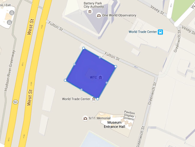
Calculate area on Map
Find the area of any simple shape on a map.
Useful tool to find the approximate acreage or a tract of land, the square footage of a roof, or estimate of the area of something.

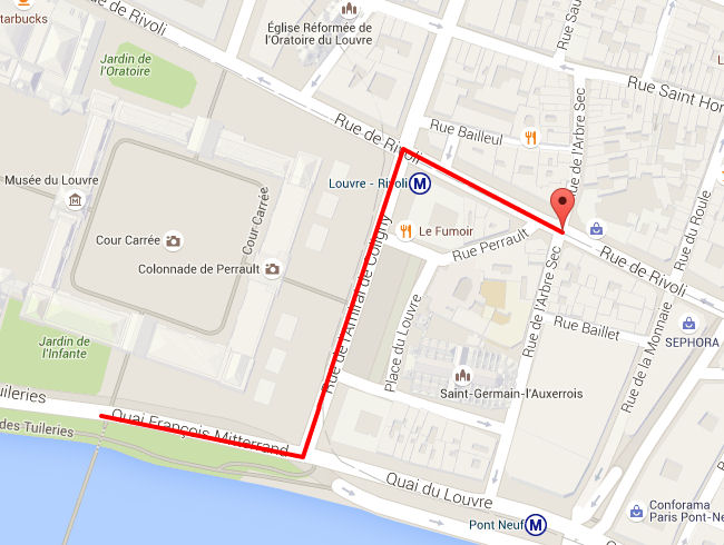
Calculate distance on Map
Use the distance calculator map to find the distance between multiple points along a line.
Google Maps distance calculator is a simple tool that allows you to draw a line on a map and measure its distance.

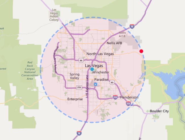
Measure Radius on Map
With this tool, you can know the radius of a circle anywhere on Google Maps.
By simply clicking on a single point and extending or moving the circle to change the radius on the Map.

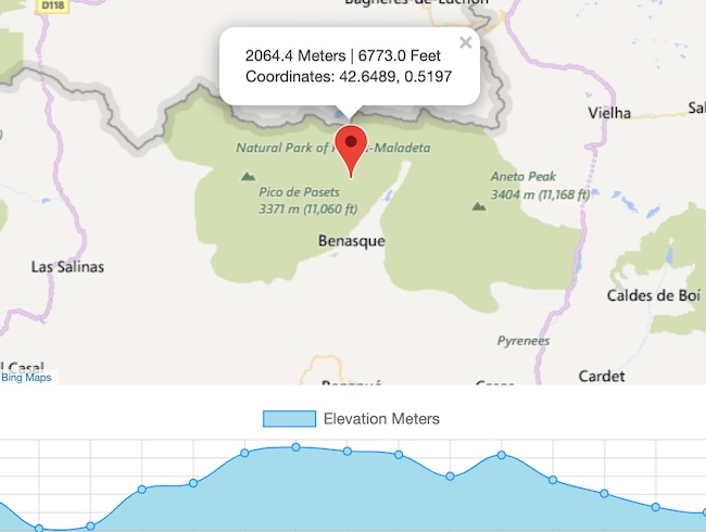
Calculate elevation on Map
Find the elevation above sea level or the elevation of a location or path drawn.
This elevation tool allows you to see a graph of elevations along a path using a Google map.
Features
Calculate your Land Area
It's easy to calculate area of your land,
just plot the corner of your land with the marker, using marker points in sequence.
Calculate Distances
Get distances in meters, miles or feet on your land.
Trace Contour Lines
Trace contour lines on your land to get an average of the altitude. Each marker will show the exact altitude.
Calculate Land Width
Calculate the width of your land.
Calculate Buildings Area
Find the area of your house, carport, studio, extension or garage.
Check the slope of your land
It is easy to know the slope of your land. Just trace the line and scroll down the page to view the altitude chart of your land.
Get the altitude, degrees and angles on your land
Every time you plot a marker on your land, you will get the heading and the altitude of the marker.
Web Application
You can use the application everywhere and also with your phone.
Share your tracing on Facebook and Twitter
Share your data information on Facebook and Twitter.